
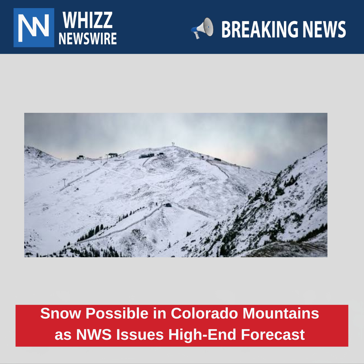
Colorado’s highest mountain areas could receive up to 8 inches of snow by Thursday morning under the National Weather Service’s high-end forecast. However, the more likely scenario calls for totals closer to 1 or 2 inches across most affected locations.
The incoming moisture is linked to the remnants of Hurricane Polo. Snow could create difficult driving conditions overnight and during the early morning hours, especially where wet pavement freezes.
Snowfall Forecast
The National Weather Service office in Pueblo released a high-end snowfall map at 12:18 p.m. ET Monday. The forecast covers the period through 8 a.m. ET Thursday.
The map shows a possibility of 6 to 8 inches in two areas of the Sangre de Cristo Mountains:
- Near Westcliffe.
- South of La Veta Pass toward Trinidad.
Most other high-elevation areas could receive between 1 and 4 inches. These locations include:
- The Sawatch Range near Leadville and Buena Vista.
- The San Juan Mountains near Lake City and Wolf Creek Pass.
- Pikes Peak.
The National Weather Service also issued a more likely snowfall forecast shortly before the high-end map. That forecast keeps most areas below 2 inches, with the highest expected totals reaching about 3 inches near Westcliffe and La Veta Pass.
The high-end map represents an unlikely but possible outcome. There is approximately a 10% chance that snowfall totals will exceed the amounts shown.
Snow Levels May Drop
The National Weather Service’s Hazardous Weather Outlook initially suggested that snow levels would remain relatively high through Monday night. It called for 1 to 2 inches above 12,000 feet.
However, 9NEWS meteorologist Chris Bianchi said snow could reach elevations near 10,000 feet in the Colorado mountains. That would place the potential snow line about 2,000 feet lower than the initial official forecast.
The difference matters for mountain communities and travelers because lower snow levels could affect more roads, passes, and recreation areas than expected.
Overnight Road Hazards
Monarch, Wolf Creek, and La Veta passes are all located within the areas shown on the National Weather Service snowfall map. Wet snow may turn into ice overnight, particularly on shaded sections of the roadway.
Drivers could face the greatest risks during the night and early morning. Switchbacks and shaded stretches may remain slippery even after sunlight reaches other parts of the road.
The Colorado Department of Transportation may also activate its traction requirements on state highways during the storm.
Colorado Traction Requirements
Colorado’s seasonal Passenger Vehicle Traction Law took effect on I-70 between Dotsero and Morrison on September 1. CDOT can also activate traction requirements on other state highways when conditions become hazardous.
When the law is active, vehicles must meet specific requirements. Tires must have at least 3/16 of an inch of tread and carry one of the following ratings:
- Mountain-snowflake.
- Mud-and-snow.
- All-weather.
Vehicles may also comply by carrying chains or an approved alternative, such as an AutoSock.
All-wheel-drive and four-wheel-drive vehicles are not exempt from the minimum tread requirement. They must also have at least 3/16 of an inch of tread.
A driver who violates the traction law may receive a $100 fine and a $33 surcharge. If the vehicle blocks the road and contributes to a closure, the penalty can rise to $500 plus a $157 surcharge.
What Drivers Should Know
All-wheel drive can help a vehicle gain traction when pulling away from a slippery surface. It does not provide the same benefit when a driver needs to stop or turn. Those actions depend heavily on tire condition, tread depth, speed, and road conditions.
Drivers should check their tires before heading into the mountains. Cold weather can reduce tire pressure by about 1 to 2 psi for every 10-degree drop in temperature.
Anyone traveling through the affected areas should slow down, leave extra space between vehicles, and be prepared for icy pavement after sunset. Checking the latest road conditions and traction requirements before departure can help reduce the risk of delays and crashes.