
When people think of the United States, they often picture bustling cities, suburban neighborhoods, or tropical beaches. But one part of the country dwarfs all others when it comes to sheer land size: a vast, remote, wild frontier full of mountains, forests, and frozen tundra.
That place is Alaska.
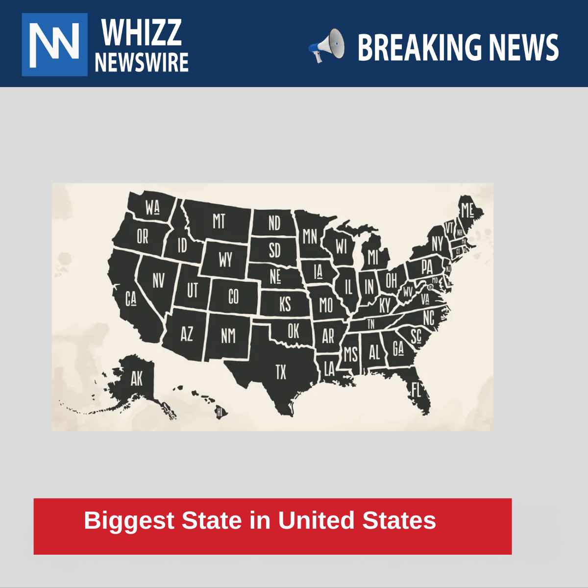
If you’ve ever wondered which U.S. state is the largest, the answer is simple but surprising to many:
Alaska is the biggest state in the United States and by a very wide margin.
But how big is it, really? And why does it matter? Let’s explore this American giant in rich, fascinating detail.
Exactly How Big Is Alaska?
Alaska covers an astonishing:
663,300 square miles (1,717,854 square kilometers)
To put that in perspective:
- It is more than twice the size of Texas, the second-largest state.
- Alaska alone is about one-fifth the entire size of the continental United States.
- If Alaska were a country, it would be the 19th largest in the world, larger than Iran, South Africa, or Mexico.
Breakdown by Area:
- Land area: 570,641 sq mi
- Water area (rivers, lakes, glaciers): 91,316 sq mi
- Coastline length: More than 33,000 miles, the longest in the U.S.
It’s so large that if you laid it over the continental U.S., it would stretch from California to Florida.
Alaska’s Location: America’s Northernmost Frontier
Alaska is unique in its geography. It is the only U.S. state not physically connected to the rest of the continental United States. It’s located in the far northwest of North America and borders:
- Canada (Yukon and British Columbia) to the east
- The Arctic Ocean to the north
- The Pacific Ocean to the south and west
- Russia lies just across the Bering Strait only about 55 miles away!
It even includes some islands that cross the International Date Line, making it the westernmost and easternmost U.S. state by longitude.
What Makes Alaska So Vast and Unique?
Alaska’s landscape is a breathtaking combination of:
- Mountains – including the highest peak in North America, Denali (formerly Mount McKinley), rising 20,310 feet (6,190 meters).
- Glaciers and ice fields – covering 5% of the state.
- Forests – including the enormous Tongass National Forest, the largest temperate rainforest in the world.
- Wildlife reserves – home to bears, moose, wolves, whales, and bald eagles.
- Volcanoes – over 130 volcanoes and volcanic fields, many of which are still active.
Much of Alaska remains unspoiled and untouched, which is why it’s sometimes called “The Last Frontier.”
But What About the People?
Despite its massive size, Alaska is one of the least populated states in the U.S. As of 2025:
- Population: Approximately 730,000 people
- Population density: Just 1.3 people per square mile
- That makes it the least densely populated state in the country
Most people live in:
- Anchorage (the largest city)
- Fairbanks
- Juneau (the state capital, which is only accessible by boat or plane)
In contrast, some small eastern states like Rhode Island and New Jersey have millions of residents in just a fraction of the space.
A Brief History: How Alaska Became Part of the U.S.
Alaska hasn’t always been part of the United States. Here’s how it happened:
- Originally inhabited by Indigenous groups such as the Inuit, Yupik, Aleuts, and others.
- Colonized by Russia in the 18th century for fur trading and exploration.
- In 1867, the U.S. purchased Alaska from Russia for $7.2 million — a deal called “Seward’s Folly” at the time because many thought it was a waste of money.
- Alaska became a U.S. territory, and later, in 1959, it became the 49th state.
Today, that purchase is considered one of the most profitable land deals in history, given Alaska’s rich natural resources.
Why Alaska’s Size Matters
Being the biggest state isn’t just about bragging rights. Alaska’s vast land brings significant importance to:
1. Natural Resources
- Alaska is rich in oil, natural gas, gold, zinc, and timber.
- It is home to the Trans-Alaska Pipeline, which stretches 800 miles from Prudhoe Bay to Valdez.
2. Wildlife & Environmental Significance
- Contains some of the last untouched ecosystems on Earth.
- Supports research on climate change, wildlife migration, and glacial activity.
3. Strategic Military Location
- Its proximity to Russia and location near the Arctic make it vital for defense and surveillance.
- Hosts multiple Air Force bases and early-warning radar systems.
4. Tourism & Adventure
- Tourists flock to Alaska for Northern Lights, glacier tours, cruises, hiking, fishing, and wildlife viewing.
Comparison: Top 5 Largest States by Area
| Rank | State | Area (sq mi) | Fun Fact |
| 1 | Alaska | 663,300 | Bigger than the 22 smallest states combined |
| 2 | Texas | 268,600 | Still less than half of Alaska’s size |
| 3 | California | 163,700 | Largest by population |
| 4 | Montana | 147,000 | Known for its vast open plains |
| 5 | New Mexico | 121,600 | Home to desert, mountains, and military bases |
No other state comes close to matching Alaska’s scale.
Final Thoughts: Alaska, The King of American States
So, to answer the original question in full:
The biggest state in the United States is Alaska, and it’s not even close.
It’s a place where nature still rules, where human footprints are few and far between, and where the horizon seems endless. Its sheer scale, isolation, and natural beauty make it not just the largest state, but one of the most iconic and mysterious parts of the country.
Whether you’re an adventurer, a geography buff, or simply someone curious about the world, Alaska stands as a towering symbol of America’s wild and wonderful side.
For similar content visit here